Hiking trails in Naturpark Southern Eifel

local hiking trails

In addition to the premium routes in the NaturWanderPark delux, the many hiking trails in the South Eifel Nature Park have been put to the test. Here, too, the premise of quality over quantity applies.

The local communities developed the new route guidance themselves, professionally supervised by representatives of the nature park, the Arzfeld tourist information office and the Irle planning office from Manderscheid. Then the routes were coordinated with the state forest administration and the nature conservation authority.

The new paths are sustainable and ecologically compatible and thus simultaneously serve to guide visitors in the Naturpark Südeifel and to provide guests with hiking experience.

The new hiking trails in the South Eifel Nature Park and its communities are marked with the new marking (red number on a white background).

mehr lesen

Share content:

Bitte akzeptieren Sie den Einsatz aller Cookies, um den Inhalt dieser Seite sehen zu können.

Alle Cookies Freigeben
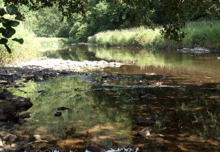
Die Prüm bei Waxweiler, © V. Teuschler

Naturpark Südeifel hiking trail no. 100 - Waxweiler

Lenght: 17.4 km
Route: Waxweiler to Waxweiler
Difficulty: difficult

More information
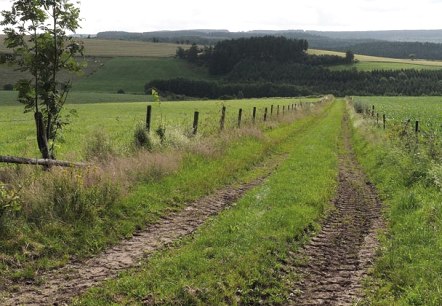
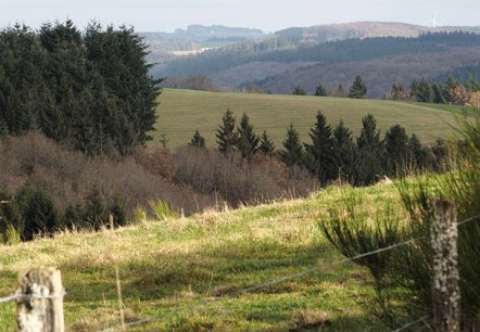
Eifelhöhen, © Volker Teuschler

Naturpark Südeifel Hiking Trail No. 11 - Binscheid

Lenght: 7.4 km
Route: Binscheid to Binscheid
Difficulty: easy

More information
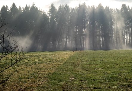
Morgennebel bei Reiff

Naturpark Südeifel hiking trail no. 12 - Reiff-Irrhausen

Lenght: 10.3 km
Route: Reiff to Reiff
Difficulty: easy

More information
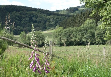
Das Irsental

Naturpark Südeifel hiking trail no. 13 - Olmscheid

Lenght: 8.9 km
Route: Olmscheid to Olmscheid
Difficulty: easy

More information
Morgenstimmung bei Jucken

Naturpark Südeifel Hiking Trail No. 14 - Jucken

Lenght: 7.6 km
Route: Jucken to Jucken
Difficulty: easy

More information
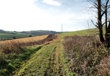
Eifelhöhen bei Arzfeld, © Volker Teuschler

Naturpark Südeifel hiking trail no. 15 - Arzfeld

Lenght: 16.1 km
Route: Arzfeld to Arzfeld
Difficulty: medium

More information
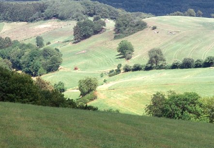
Eifelhöhen, © Volker Teuschler

Naturpark Südeifel hiking trail no. 18 - Oberpierscheid

Lenght: 10.2 km
Route: Oberpierscheid to Oberpierscheid
Difficulty: easy

More information
Nach dem Regen, © Volker Teuschler

Naturpark Südeifel hiking trail no. 19 - Plutscheid

Lenght: 7.6 km
Route: Plütscheid to Plütscheid
Difficulty: easy

More information
Eifelhöhen bei Plütscheid, © V. Teuschler

Naturpark Südeifel hiking trail no. 20 - Plutscheid

Lenght: 8.5 km
Route: Plütscheid to Plütscheid
Difficulty: easy

More information
Naturnahes Erlebnis bei Plütscheid, © Volker Teuschler

Naturpark Südeifel hiking trail no. 21 - Plutscheid

Lenght: 18.2 km
Route: Plütscheid to Plütscheid
Difficulty: difficult

More information